AI Item Analysis
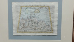
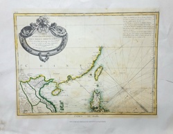
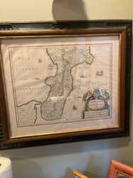
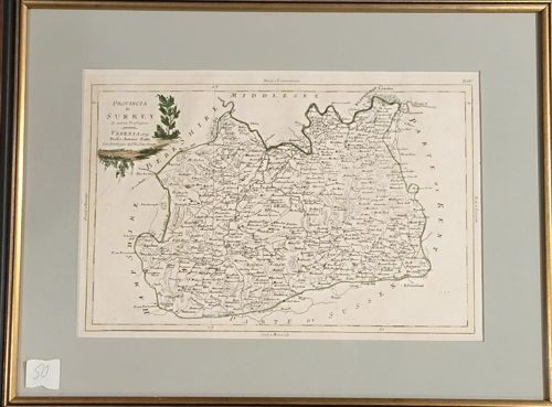
A fine 18th-century copperplate engraved map of the English county of Surrey, published in Venice in 1779. The map is titled 'Provincia di Surrey di Nuova Projezione' and was produced by Antonio Zatta for his monumental atlas 'Atlante Novissimo'. The piece is printed on hand-laid paper and features delicate hand-coloring, specifically in the decorative title cartouche which depicts a localized landscape with a tall tree. The map displays the county's boundaries with neighboring Middlesex, Kent, Sussex, Berkshire, and Hampshire. It shows towns, rivers, and topographic features with fine-line engraving typical of the Zatta workshop. The map is professionally presented in a double-ruled green-grey mat and set within a thin, gilt-finished wooden frame. Notable features include Italian nomenclature for the title and English names for the geographic locations. The condition appears to be excellent for its age, with minor expected toning to the paper and crisp plate marks still visible. There are no obvious signs of foxing, tears, or significant fading in the provided view. The craftsmanship reflects the high standards of late 18th-century Venetian cartography, known for its elegance and aesthetic appeal over absolute geographic precision.