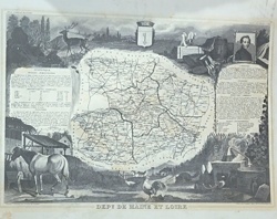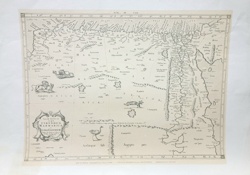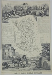
AI Item Analysis
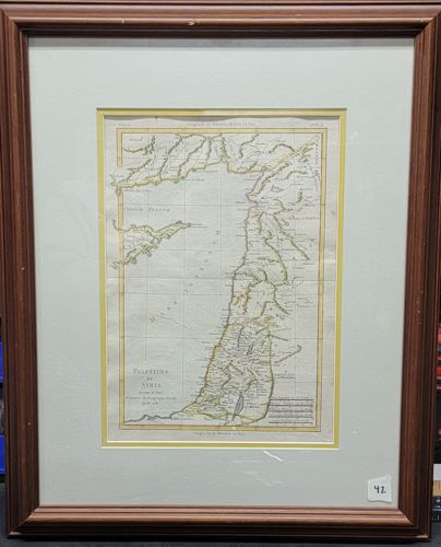
This is a matted and framed antique hand-colored copperplate engraving entitled 'Palestina et Syria,' likely originating from an 18th-century atlas or geographical text. The map showcases the topography of the Levant with a focus on biblical and classical geography. It features hand-drawn outlines in yellow and green to demarcate regional boundaries and coastal features. The paper appears to be hand-laid with visible vertical fold lines, common for maps bound in books. Notable markings include a decorative title cartouche in the lower left corner and French marginalia, with 'Longitude de l'Ile de Fer' indicated at the top border. The map shows slight signs of age, including minor foxing, light toning, and visible creasing from its original folding. It is housed in a modern fluted wooden frame with a reddish-brown finish. The presentation includes a cream-colored outer mat and a thin yellow inner mat that complements the map's coloring. The frame shows some light scuffing and wear on the edges, and a small inventory sticker '42' is visible in the lower right corner of the glazing. The fine linework and delicate hand-tinting indicate a high level of 18th-century cartographic craftsmanship.