AI Item Analysis
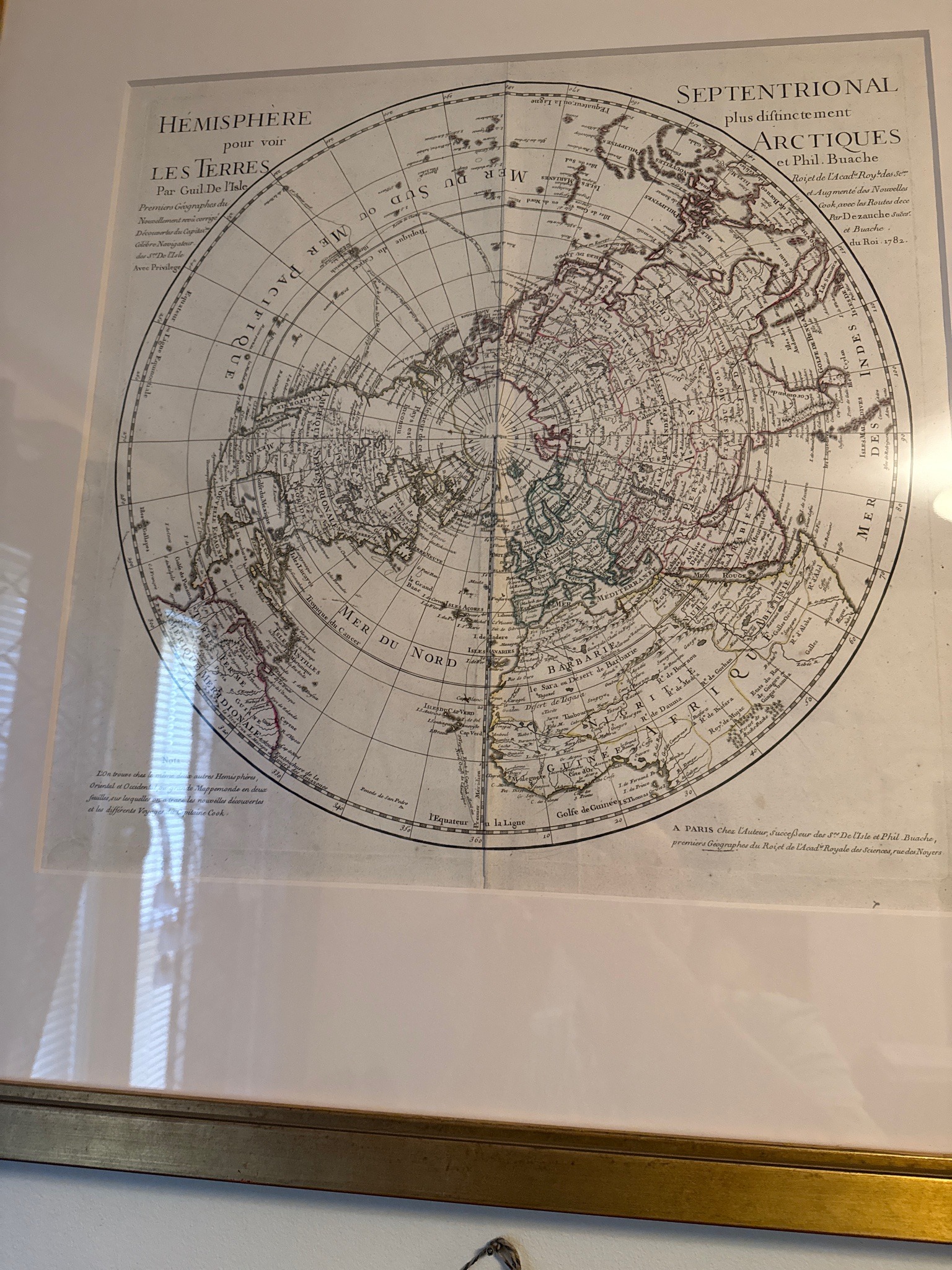
This item is a large-format circular polar projection map depicting the Northern Hemisphere, presented in a glazed frame. The map includes extensive topographic and cartographic details with French labels, such as 'MER DU NORD' and 'GRANDE TARTARIE'. It bears printed text identifying it as 'HEMISPHERE SEPTENTRIONAL' and mentions creators 'Guil. De l'Isle et Phil. Buache', with a printed date of '1782'. The composition features fine-line engraving consistent with late 18th-century cartography, though it is currently unverified if this is a period-correct copperplate engraving or a modern high-quality reproduction. The paper appears slightly aged with a subtle cream or beige tone, and the map shows hand-colored outlines in red and green along certain geographical borders. The work is mounted under a white mat within a gilded wooden frame. Notable text at the bottom right reads 'A PARIS Chez l'Auteur... 1782'. Without a physical inspection out of the frame, the exact age of the paper and the printing method cannot be established. The decorative presentation and historical style are consistent with European cartographic works from the Enlightenment period, although its state as a later reprint or an early edition remains a hypothesis.