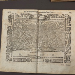
AI Item Analysis
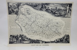
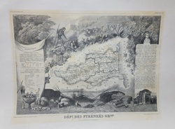
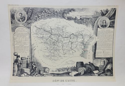
This is a detailed, monochromatic steel-plate engraved map of the French department of Aude, originally published by Victor Levasseur in his renowned 'Atlas National Illustré des 86 Départements et des Possessions de la France' circa 1850. The map itself is centered and surrounded by an elaborately decorative vignettes typical of the mid-19th century French style. These vignettes include portrait medallions of notable figures in the upper corners, a topographical scene at the bottom featuring agricultural barrels and local industry, and detailed statistical panels on either side containing data on population, area, and administrative divisions. The engraving displays fine detail in the cartography, showing roads, rivers, and towns. The paper is an off-white or cream-toned heavy wove paper reflecting its age. There are visible signs of aging including slight undulation of the paper and minor foxing or light staining along the margins. The craftsmanship is high-quality, characterized by delicate cross-hatching and masterful use of light and shadow in the decorative border illustrations. The bottom center is boldly titled 'DÉPT DE L'AUDE'.