AI identification & appraisal estimate

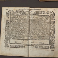
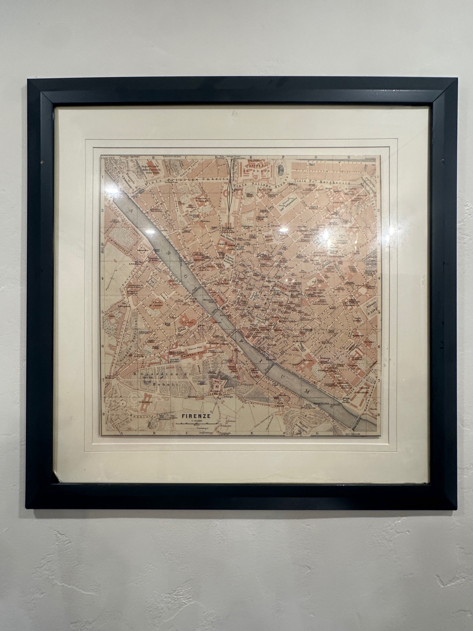
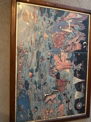
Vintage city map of Florence (Firenze), Italy

Submitted photo of Vintage city map of Florence (Firenze), Italy
Photo submitted by the user — not generated by AI

AI Estimated Value

Not an official valuation

$100 - $250

AI estimate as of May 25, 2026 · verify with a professional before acting

AI-Generated · Verify before acting

Everything on this page is generated by AI for informational purposes only. AI can make mistakes — the AI may misidentify items or misattribute them (artist, maker, brand, designer, origin, era). This is not an official valuation and should not be used for insurance, sale, tax, estate, legal, or lending purposes — or any decision requiring a certified appraisal. It is not an authoritative claim about any person, brand, or rights holder — do not share or rely on it as a factual statement about a third party. Always consult qualified professionals before making financial decisions.

Read the full disclaimer

AI Item Analysis

This item is a framed map of Florence, Italy, bearing the title 'FIRENZE' at the bottom center. The map is printed on paper and features a topographic layout with pinkish-tan and pale gray/green hues, depicting the Arno River crossing diagonally through the city. Notable landmarks including the 'Giardino di Boboli' and 'Palazzo Pitti' are visible. The map is set within a multi-stepped cream-colored mat and housed in a modern black wooden or composite frame. While the cartographic style is consistent with late 19th or early 20th-century European city plans—incorporating a grid coordinate system (letters A-H and numbers 1-8) and a scale of 1:10,000—it is currently unverified if this is a period-original print or a later reproductive lithograph. The paper appears to have some slight undulation, suggesting it is not laid perfectly flat, and there are visible glares from the protective glass or acrylic covering. No specific publisher's mark or date is legibly seen in the provided image. The identification as a vintage-style map is based on the typography, color palette, and historical layout of the city shown.
AI Appraisal Report

Based on my visual examination of the provided image, I have evaluated this framed map of Florence (Firenze). The topographic style, color palette, and presence of a coordinate grid are consistent with European city plans released around the late 19th or early 20th century, potentially appearing similar to those found in Baedeker or Wagner & Debes travel guides. However, based on what I can see, I cannot determine if this is a period-original lithograph or a modern photographic reproduction. The undulation in the paper suggests it is not adhered to a backing, but I would need a physical inspection to confirm the paper's fiber content, plate marks, or watermarks which are essential for dating. The value estimate of $100-$250 assumes the map is a period-correct print in a modern decorative frame. There is a healthy market for vintage Italian cartography among interior decorators and collectors of travel memorabilia. The modern framing adds decorative appeal but does not significantly increase the historical value. Should this item be identified as a contemporary digital reprint or a common mass-market reproduction, the value would likely decrease to a decorative range of $25-$50. To further refine this estimate, an in-person examination would be required to look for printing dot patterns (indicative of modern processes) versus continuous ink lines or lithographic textures. Reviewing the reverse of the frame for gallery labels or provenance documentation would also help clarify its history. My estimate reflects the current market demand for 'vintage-style' European cartography in ready-to-hang condition.

Keep exploring

More prints and maps appraisals

Get your items appraised

Instant AI-powered appraisal estimates from a photo

Browse More Appraisals