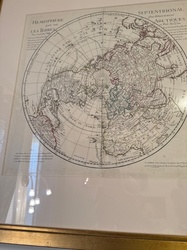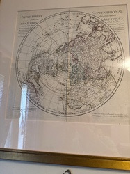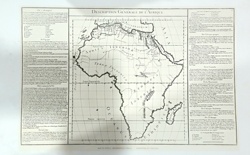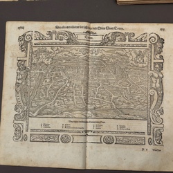
AI Item Analysis
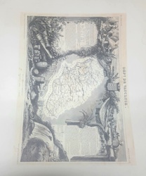
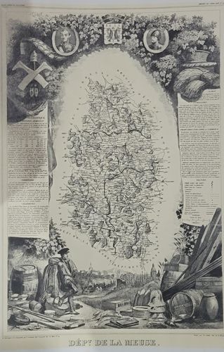
A fine mid-19th-century steel-engraved map of the French department of Meuse, part of Victor Levasseur's prestigious 'Atlas National Illustré.' The central cartographic element features a detailed topographical outline showing cities, roads, and waterways. The map is famously surrounded by an elaborate decorative border (vignettes) reflecting the region's character. At the top, a heraldic crest is flanked by two portrait medallions. The left side features a large statistical panel detailing population and administrative data, topped with industrial and mining symbols. The right side contains historical and geographical notes, surmounted by agricultural imagery including sheaves of wheat and produce. The bottom scene provides a rich allegorical landscape featuring a local figure, probably a worker or merchant, surrounded by regional exports such as barrels, pottery, tools, and timber, implying the department's economic vitality. The engraving is executed with high precision, characteristic of 1840s-1850s French craftsmanship. Condition appears good with typical toning consistent with age; some minor creasing is visible at the margins. The printed text at the bottom clearly identifies the region as 'DÉPT DE LA MEUSE.'