AI identification & appraisal estimate

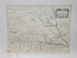
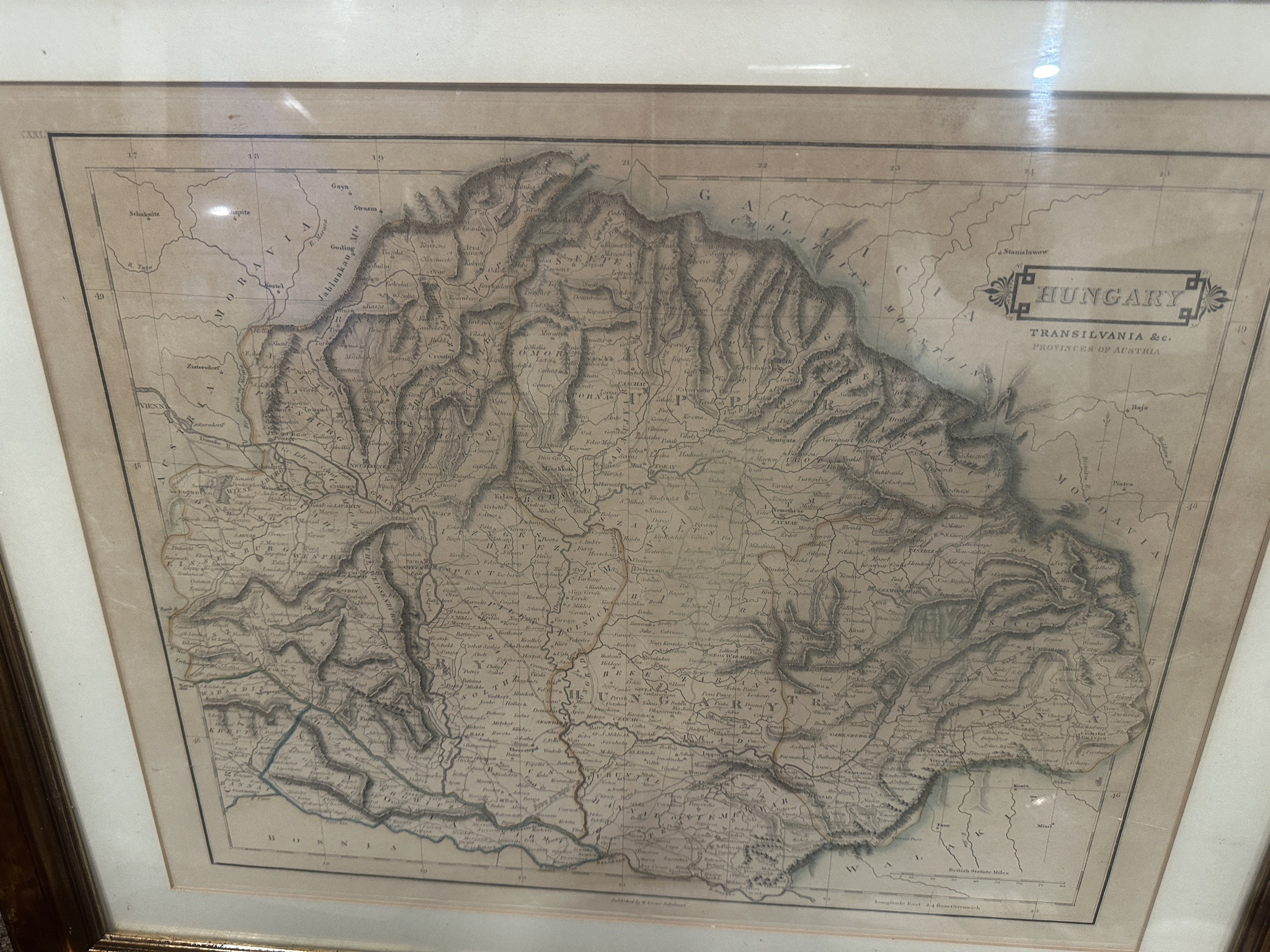
Framed antique-style engraved map of Hungary and Transylvania

Submitted photo of Framed antique-style engraved map of Hungary and Transylvania
Photo submitted by the user — not generated by AI

AI Estimated Value

Not an official valuation

$100.00 – $250.00

AI estimate as of May 24, 2026 · verify with a professional before acting

AI-Generated · Verify before acting

Everything on this page is generated by AI for informational purposes only. AI can make mistakes — the AI may misidentify items or misattribute them (artist, maker, brand, designer, origin, era). This is not an official valuation and should not be used for insurance, sale, tax, estate, legal, or lending purposes — or any decision requiring a certified appraisal. It is not an authoritative claim about any person, brand, or rights holder — do not share or rely on it as a factual statement about a third party. Always consult qualified professionals before making financial decisions.

Read the full disclaimer

AI Item Analysis

This item appears to be an antique engraved map on paper, set within a dark wood frame under glass. The central title cartouche is printed with 'HUNGARY TRANSILVANIA &c. PROVINCES OF AUSTRIA'. The map features intricate hachuring to represent mountainous terrain, specifically noting the Carpathian Mountains and the Alps. Visible text identifies regions such as Moravia, Moldavia, and Bosnia. The engraving style is consistent with early to mid-19th-century cartography, which often used fine line work and varying font faces to distinguish historical regions. The paper displays a yellowish-brown patina across the surface, with some darker areas of foxing or moisture staining visible particularly toward the upper right and along certain creases. There is a visible horizontal fold line through the center, suggesting it may have been originally bound in an atlas. Small Roman numerals such as 'XXXI' and longitude/latitude coordinates are printed along the borders. While the map is consistent with the cartographic output of publishers from that era, its age cannot be physically verified via this image, as it could be a later photomechanical reproduction; the presence of original plate marks or paper watermarks would require an in-person inspection.
AI Appraisal Report

I have examined the provided image of a framed map titled 'HUNGARY TRANSILVANIA &c. PROVINCES OF AUSTRIA.' Based on what I can see, the engraving style, typography, and horizontal center fold are consistent with 19th-century atlas plates, possibly from a publication by Sidney Hall or a contemporary British cartographer. I cannot verify from a photo if the piece is a genuine antique engraving or a modern photomechanical reproduction; physical inspection for a recessed plate mark and paper watermarks is necessary. The paper shows a patina consistent with age, though the visible foxing and moisture staining toward the upper right significantly impact its condition. Based on the assumption that this is a 19th-century engraving, the value reflects the general market interest in Eastern European cartography. However, this estimate is contingent upon authentication; if the map is a modern copy or reproduction, the value would likely drop to a decorative level of $20–$40. Market demand for antique maps remains stable for well-preserved examples, but the condition issues noted here limit its desirability to collectors. To confirm the value, an in-person examination is required to determine if the work is on period-correct laid or wove paper and to differentiate between hand-coloring and printed tones. The framing also adds modest decorative value, though its archival quality cannot be established from the image.

Keep exploring

More maps and cartography appraisals

Get your items appraised

Instant AI-powered appraisal estimates from a photo

Browse More Appraisals