AI identification & appraisal estimate

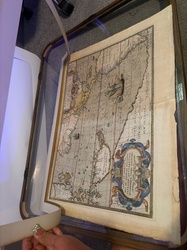
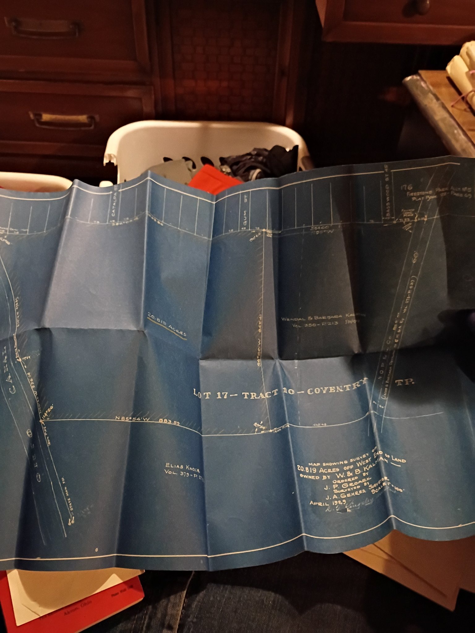
Blueprint land survey map of Lot 17, Coventry Township

Submitted photo of Blueprint land survey map of Lot 17, Coventry Township
Photo submitted by the user — not generated by AI

User's notes

firestone tire and rubber archive

These notes were written by the person who submitted this item. Appraiser.AI has not verified them, and the AI's identification and estimate may rely on them.

AI Estimated Value

Not an official valuation

$150-$300

AI estimate as of September 14, 2026 · verify with a professional before acting

AI-Generated · Verify before acting

Everything on this page is generated by AI for informational purposes only. AI can make mistakes — the AI may misidentify items or misattribute them (artist, maker, brand, designer, origin, era). This is not an official valuation and should not be used for insurance, sale, tax, estate, legal, or lending purposes — or any decision requiring a certified appraisal. It is not an authoritative claim about any person, brand, or rights holder — do not share or rely on it as a factual statement about a third party. Always consult qualified professionals before making financial decisions.

This analysis also relies on unverified notes provided by the user, which may be incomplete or inaccurate and could affect the result.

Read the full disclaimer

AI Item Analysis

This physical item is a large, folded architectural and land survey blueprint featuring white line work and typography printed on classic blue diazo-style blueprint paper. The document measures roughly across several feet when fully unfurled, though it is heavily creased and shows characteristic vertical folding lines from long-term storage. The primary subject matter visible on the document includes technical map details, property lines, acreage measurements, and textual notations regarding land parcels, such as 'LOT 17 - TRACT 10 - COVENTRY TP.' and property details mentioning names like Elias Knox and Wendal & Barbara Kalman. A prominent lower-right text block reads 'MAP SHOWING SURVEY OF 20.819 ACRES OFF WEST END OF LAND OWNED BY W. & B. KALMAN', 'ORDERED BY J. P. GROARK', 'SURVEYED BY J. A. GEHRES, SURVEYOR', with a date of 'APRIL 1929' and a signature at the bottom. The condition exhibits expected handling wear, edge curling, and sharp creases from having been folded into a compact shape for decades. The aesthetic and manufacturing style are entirely consistent with early 20th-century municipal and industrial cartography, utilizing traditional drafting and blueprint reproduction methods of the era. The user-supplied attribution claims this item originates from the 'firestone tire and rubber archive', which remains unverified by physical inspection or formal provenance documentation. The identification rests purely on the legible printed and handwritten text visible directly on the face of the document.

AI Appraisal Report

Based on what I can see in the provided image, this large-format diazo blueprint features details concerning a land survey of 20.819 acres in Coventry Township, dated April 1929 and surveyed by J. A. Gehres. Per user submission, the item originates from the 'firestone tire and rubber archive'. I can't verify from a photo whether this specific provenance is accurate, and I would need physical inspection to confirm the paper composition, chemical processing, and archival context. The document exhibits typical early 20th-century drafting characteristics, alongside heavy handling wear, edge curling, and sharp creases from long-term folding. The basis for the value estimate assumes the survival of a clean, legible early municipal map with local historical interest. General market demand for vintage architectural and land survey blueprints is typically driven by local historians, regional collectors, and map enthusiasts, though prices for unbranded or hyper-local engineering prints tend to remain modest. If the item is indeed associated with the Firestone archive via documentary provenance, or if it lacks such connection, the value could fluctuate. Furthermore, if this piece were determined to be a later reproduction or a copy rather than a period diazo print from 1929, the market value would drop significantly, likely to a nominal decorative level of $25-$50. To confirm authenticity and archival origin, an in-person physical examination and formal provenance documentation would be required.

Keep exploring

More maps and blueprints appraisals

Get your items appraised

Instant AI-powered appraisal estimates from a photo

Browse More Appraisals