AI Item Analysis
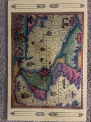
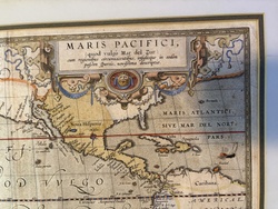
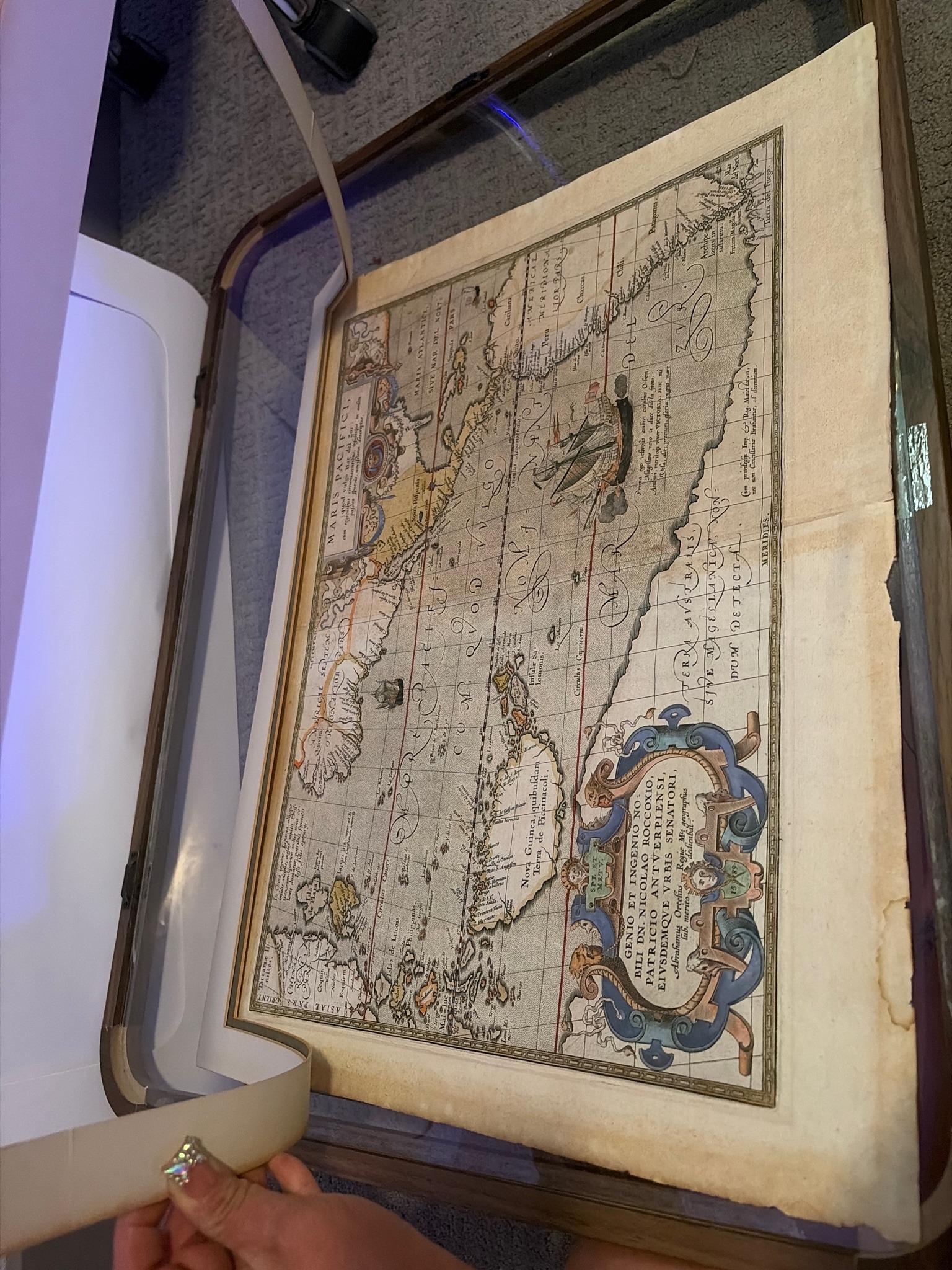
The item presented is a large, hand-colored engraved map depicting the Pacific Ocean, oriented with the southern hemisphere at the top, a characteristic feature of early historical cartography. The physical support consists of a heavy, cream-colored laid paper showing distinct age-related toning, discoloration, and foxing throughout, particularly along the edges and the central vertical fold. The map measures approximately within a vintage wooden and glass display case, though exact dimensions are unverified from the image. The hand-coloring features muted earth tones, including yellow, soft orange, and blue hues highlighting landmasses and decorative elements. Notable cartographic and artistic features include an elaborate cartouche in the lower right corner adorned with scrolling strapwork, masks, and Latin text, as well as decorative sailing ships and sea monsters rendered across the ocean expanse. Prominent visible Latin text within the cartouche reads verbatim: 'GENIO ET INGENIO NOBILISS. DNI. NICOLAO ROCCOXIO, PATRICIO ANTVERPIENSI, EIVSDEMQVE VRBIS SENATORI, Abrahamus Ortelius Regiae Mte geographus lub. merito...'. Another title cartouche near the upper left reads 'MARIS PACIFICI, / Quod vulgo / MAGELLANICUM...'. The condition exhibits visible signs of age, including heavy yellowing of the paper, browning near the margins, a prominent vertical crease or fold running down the center, and minor edge fraying or wear consistent with historical paper artifacts. While the visual layout, typography, and decorative cartouches are strongly consistent with 16th-century cartography by the notable mapmaker Abraham Ortelius, this attribution rests solely on visual style and printed text layout visible in the photograph, and the item remains unauthenticated. The style period suggests an early modern cartographic aesthetic, but the actual printing date, potential reproduction status, and overall authenticity cannot be verified without physical inspection and expert archival analysis.