AI identification & appraisal estimate

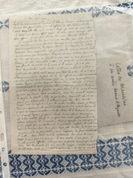
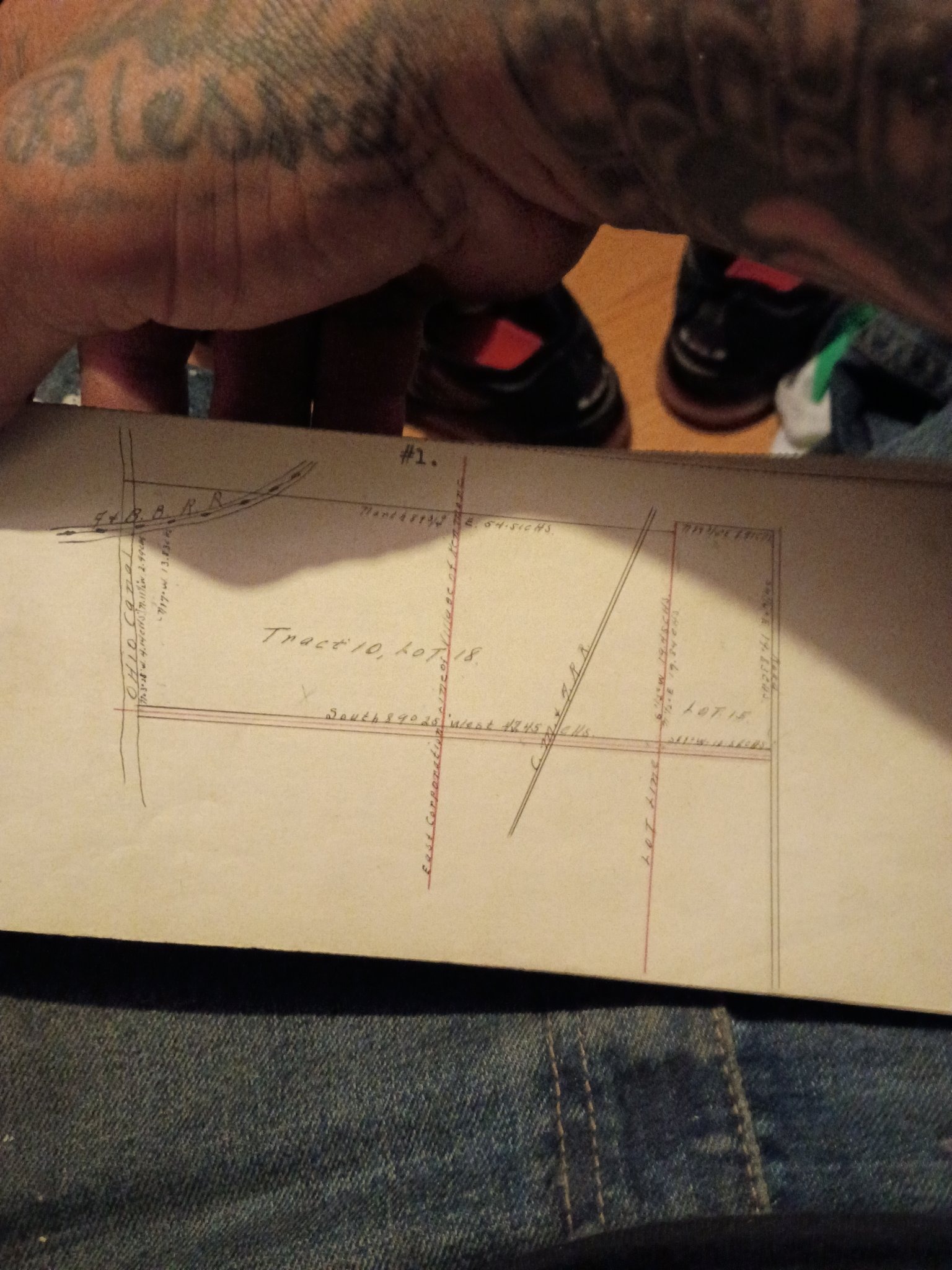
Hand-drawn land survey plat (unverified)

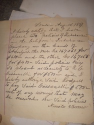
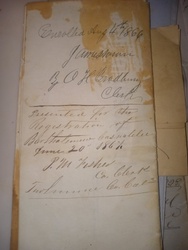
Submitted photo of Hand-drawn land survey plat (unverified)
Photo submitted by the user — not generated by AI

AI Estimated Value

Not an official valuation

$150-$300

AI estimate as of October 18, 2026 · verify with a professional before acting

AI-Generated · Verify before acting

Everything on this page is generated by AI for informational purposes only. AI can make mistakes — the AI may misidentify items or misattribute them (artist, maker, brand, designer, origin, era). This is not an official valuation and should not be used for insurance, sale, tax, estate, legal, or lending purposes — or any decision requiring a certified appraisal. It is not an authoritative claim about any person, brand, or rights holder — do not share or rely on it as a factual statement about a third party. Always consult qualified professionals before making financial decisions.

Read the full disclaimer

AI Item Analysis

The item is a hand-drawn manuscript map or land survey plat on a rectangular piece of heavy off-white paper or card stock. The visual evidence shows meticulous hand-inked cartographic drafting using black and red inks, featuring various property boundaries, directional bearings, and geographical markers. Prominently centered is handwritten cursive text reading "Tract 10, Lot 18." Additional handwritten annotations include measurements and boundary descriptions such as "South 89 0 25 West 43.45 Chs" and "East Corporation line of Village of Kenmore," as well as labels for features like the "Ohio Canal" and railroad rights-of-way marked "P & O B R R" and "C & P R R." The top corner displays the notation "#1." The paper exhibits light yellowing, edge wear, and minor creasing consistent with age, suggesting a mid-to-late 19th or early 20th-century origin, though no specific date or maker's mark is directly readable in the image to confirm the exact period. The identification rests purely on the visual characteristics of historical land survey drafting documents. The item is unauthenticated.
AI Appraisal Report

Based on what I can see in the image, this manuscript land survey plat exhibits careful hand-inked cartographic drafting, featuring detailed property boundaries, directional bearings, and historical annotations such as references to the Ohio Canal and regional railways. The notation 'Tract 10, Lot 18' and the style suggest a potential mid-to-late 19th or early 20th-century origin. However, I can't verify the exact age, materials, or paper composition from a photo alone, and would need physical inspection to confirm these aspects. The estimated value range of $150 to $300 applies if the attribution to a historical manuscript survey of that period is correct. Market demand for antique hand-drawn cartography and regional Americana documents exists among niche collectors, though values fluctuate based on historical significance, condition, and visual appeal. The item exhibits light yellowing, edge wear, and minor creasing which align with expected aging for paper documents of this type. To confirm authenticity and exact period, an in-person examination by a paper conservator or manuscript expert would be necessary, alongside potential provenance research. If this item were to turn out to be a modern reproduction, copy, or decorative replica rather than a period manuscript, the market value would drop significantly, likely falling into the $20 to $50 range.

Keep exploring

More manuscripts and documents appraisals

Get your items appraised

Instant AI-powered appraisal estimates from a photo

Browse More Appraisals