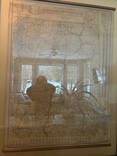
The Official Map of Vermont and New Hampshire by National Survey
This is a large-scale, wall-mounted cartographic map titled 'The Official Map of Vermont and New Hampshire', produced by The National Survey, a renowned map-making firm based in Chester, Vermont. The piece demonstrates high-quality early-to-mid 20th-century lithographic printing, featuring detailed topographical information, county boundaries, and transportation networks. The map is primarily printed in tan and cream tones with delicate line work in blue and red representing water and major roadways. It is constructed on heavy-duty paper or linen-backed stock, commonly used for schoolhouse or administrative 'pull-down' maps, and is presented here as a framed relic. Notable features include a comprehensive legend at the top and bottom margins, listing population statistics and municipal details. The map is housed in a simple dark wooden frame with protective glass; however, heavy reflections in the image indicate non-glare glass was not used. Condition-wise, the map displays significant historical character with visible horizontal creasing and ripples, likely from being rolled for many years. There is subtle foxing and yellowing along the edges consistent with age and light exposure. The map appears to date from the 1920s to 1940s based on the typography and the prominence of The National Survey branding, which was a staple of New England cartography during that era. The level of detail and official status suggest it was originally intended for use in a government office or educational institution.
AI-Generated Appraisal Disclaimer
Estimated Value
$450 - $650
Basic Information
Category
Antique Cartography and Vintage Paper Ephemera
Appraised On
February 24, 2026
Estimated Value
$450 - $650
Additional Details Provided By Owner
User Provided Information
Large framed map of Vermont and New Hampshire
Item Description
This is a large-scale, wall-mounted cartographic map titled 'The Official Map of Vermont and New Hampshire', produced by The National Survey, a renowned map-making firm based in Chester, Vermont. The piece demonstrates high-quality early-to-mid 20th-century lithographic printing, featuring detailed topographical information, county boundaries, and transportation networks. The map is primarily printed in tan and cream tones with delicate line work in blue and red representing water and major roadways. It is constructed on heavy-duty paper or linen-backed stock, commonly used for schoolhouse or administrative 'pull-down' maps, and is presented here as a framed relic. Notable features include a comprehensive legend at the top and bottom margins, listing population statistics and municipal details. The map is housed in a simple dark wooden frame with protective glass; however, heavy reflections in the image indicate non-glare glass was not used. Condition-wise, the map displays significant historical character with visible horizontal creasing and ripples, likely from being rolled for many years. There is subtle foxing and yellowing along the edges consistent with age and light exposure. The map appears to date from the 1920s to 1940s based on the typography and the prominence of The National Survey branding, which was a staple of New England cartography during that era. The level of detail and official status suggest it was originally intended for use in a government office or educational institution.
Get Your Items Appraised
Instant estimates of your treasures with AI-powered instant appraisals